
Lighthouse car park at the start of the walk
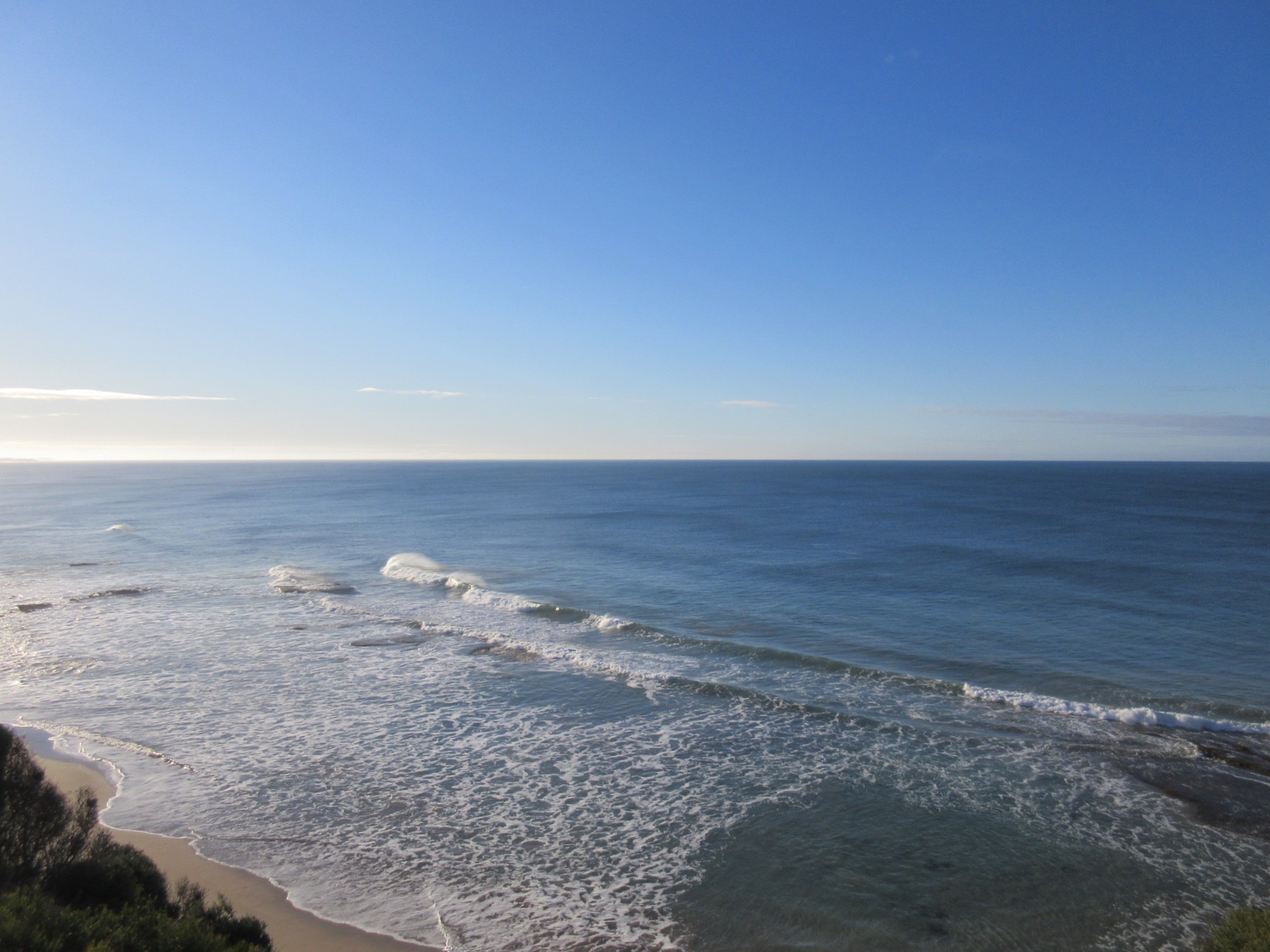
View of the waves (on Sunnymead beach?) from the clifftop track

Eucalypt in bloom

Looking back to the Split Point Lighthouse

Split Point in the morning sunlight
Boundary Road

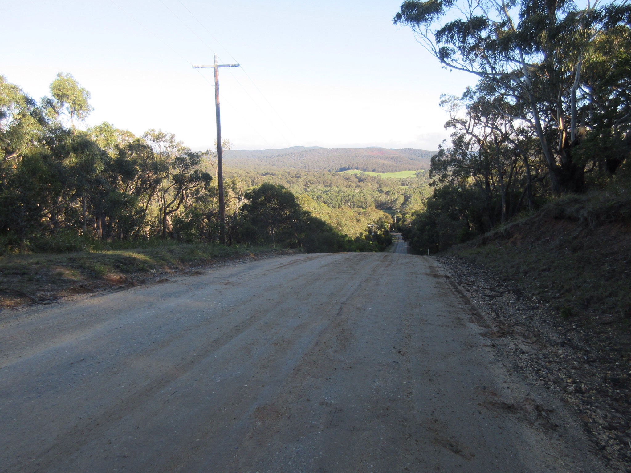
Walking into the sun, along a horse track on Bambra road
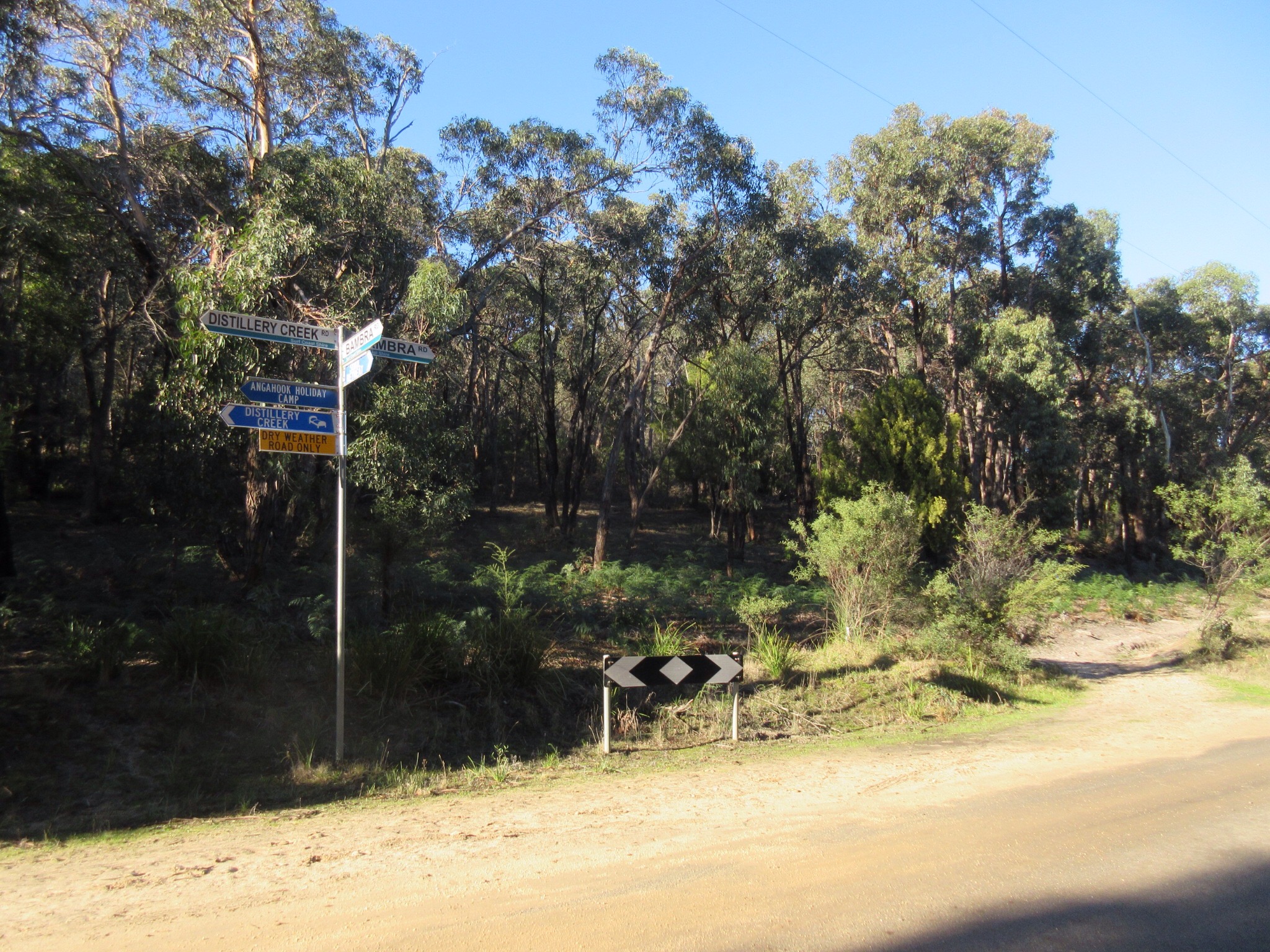
Intersection of Bambra road and Distillery creek road

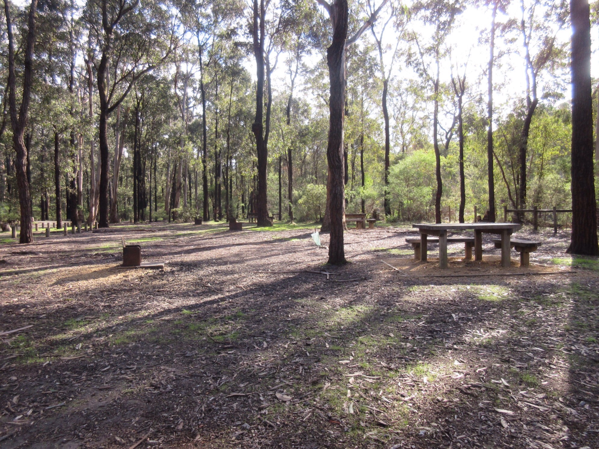
Leaving Distillery creek picnic area, heading off to Moggs Creek

On the road to Painkalac Dam

Following the track around Painkalac Dam

Mushrooms (yellow navels?) and sundews on the side of the trail
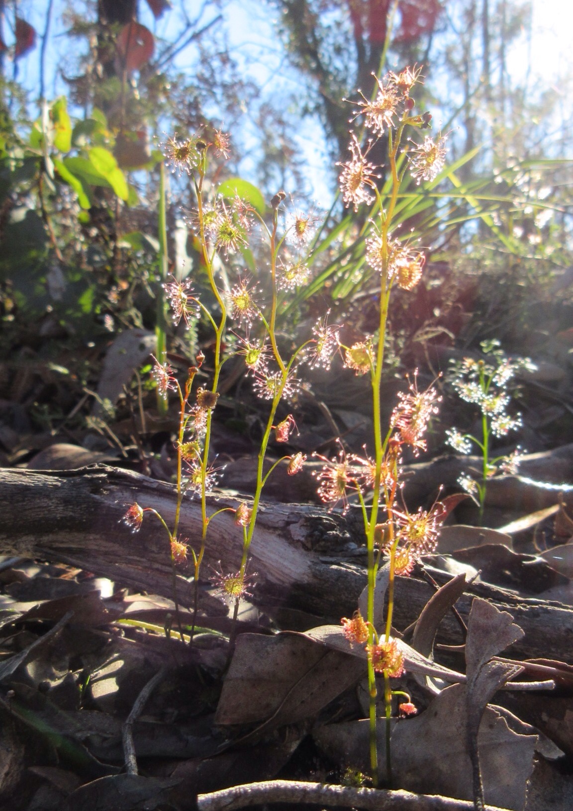
Tall sundews glistening in… the sun
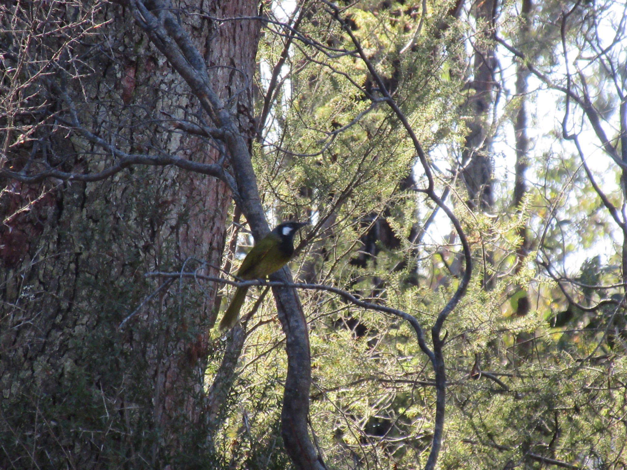
A pair of white cheeked honey eaters swooped around us in the undergrowth as we stopped for a snack

And an eastern spinebill seemed to be part of the visiting party.
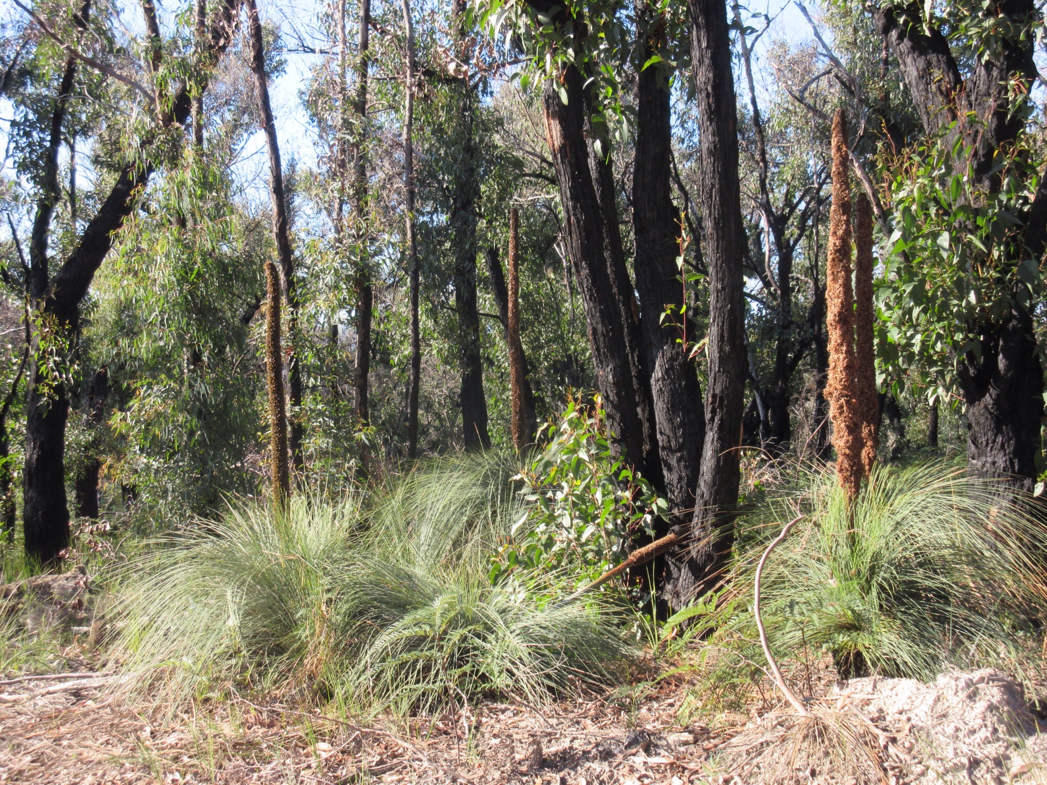
Grass trees flowering beside the trail
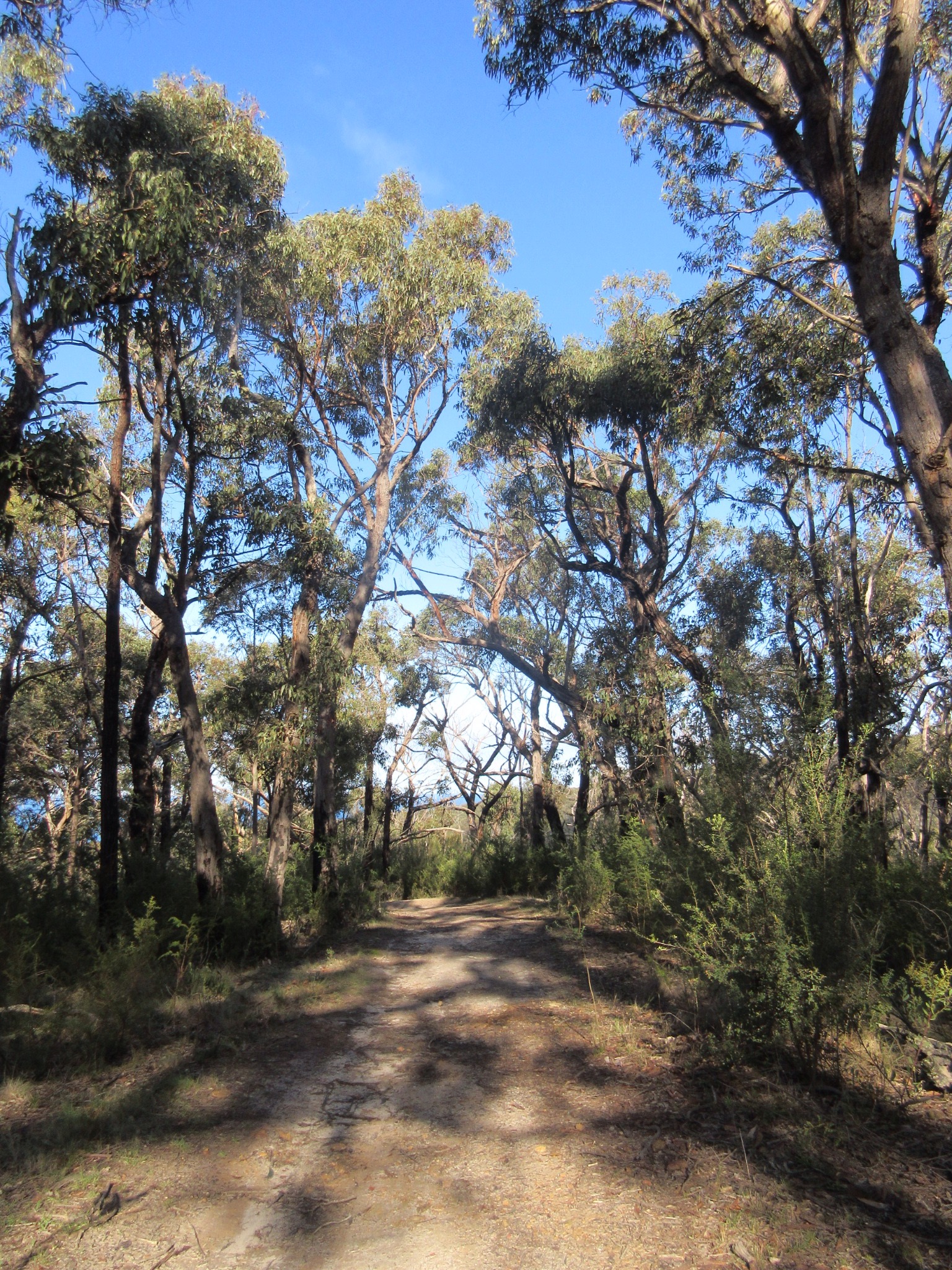
The gravel road between Painkalac dam and Moggs creek

More mushrooms beside the trail

Bridge across Moggs creek
Moggs creek picnic area is a beautiful lunch spot

Green hooded orchids in the picnic area
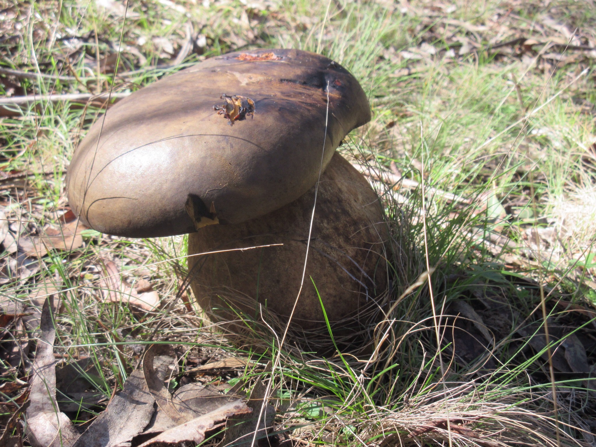
This mushroom in the picnic area was huge, bigger than my foot!
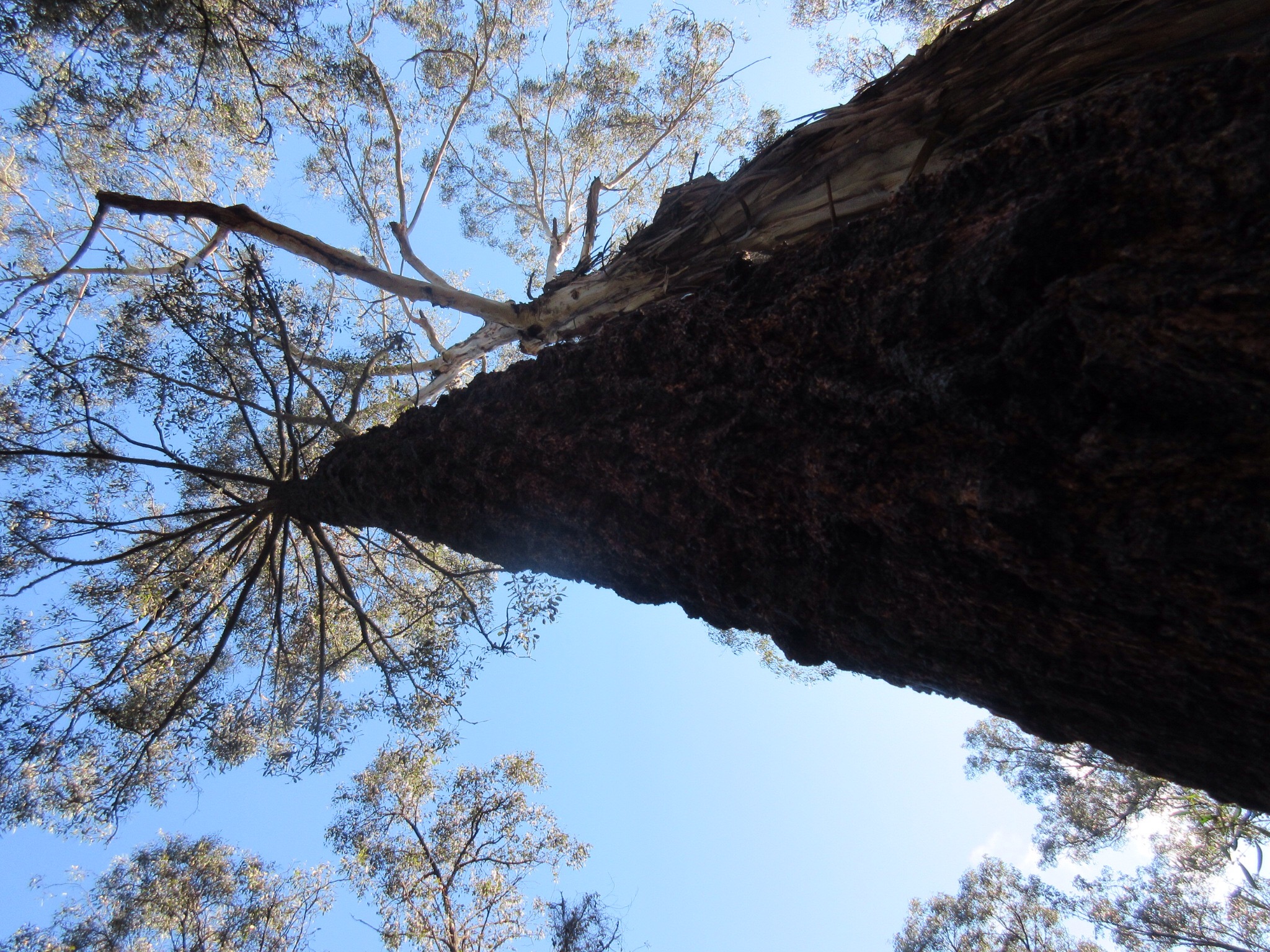
Glorious tall Ironbarks in the Moggs creek picnic area

Heading out of the Moggs creek picnic area onto the Ocean View track

Spectacular coral fungus beside the Ocean view track

Crossing Gentle Annie track on the way to Ocean View

The view eastward from Ocean view

… and the view west. Including bonus ominous cloud.

Walking along the beach, looking back to the Ominous Cloud ™
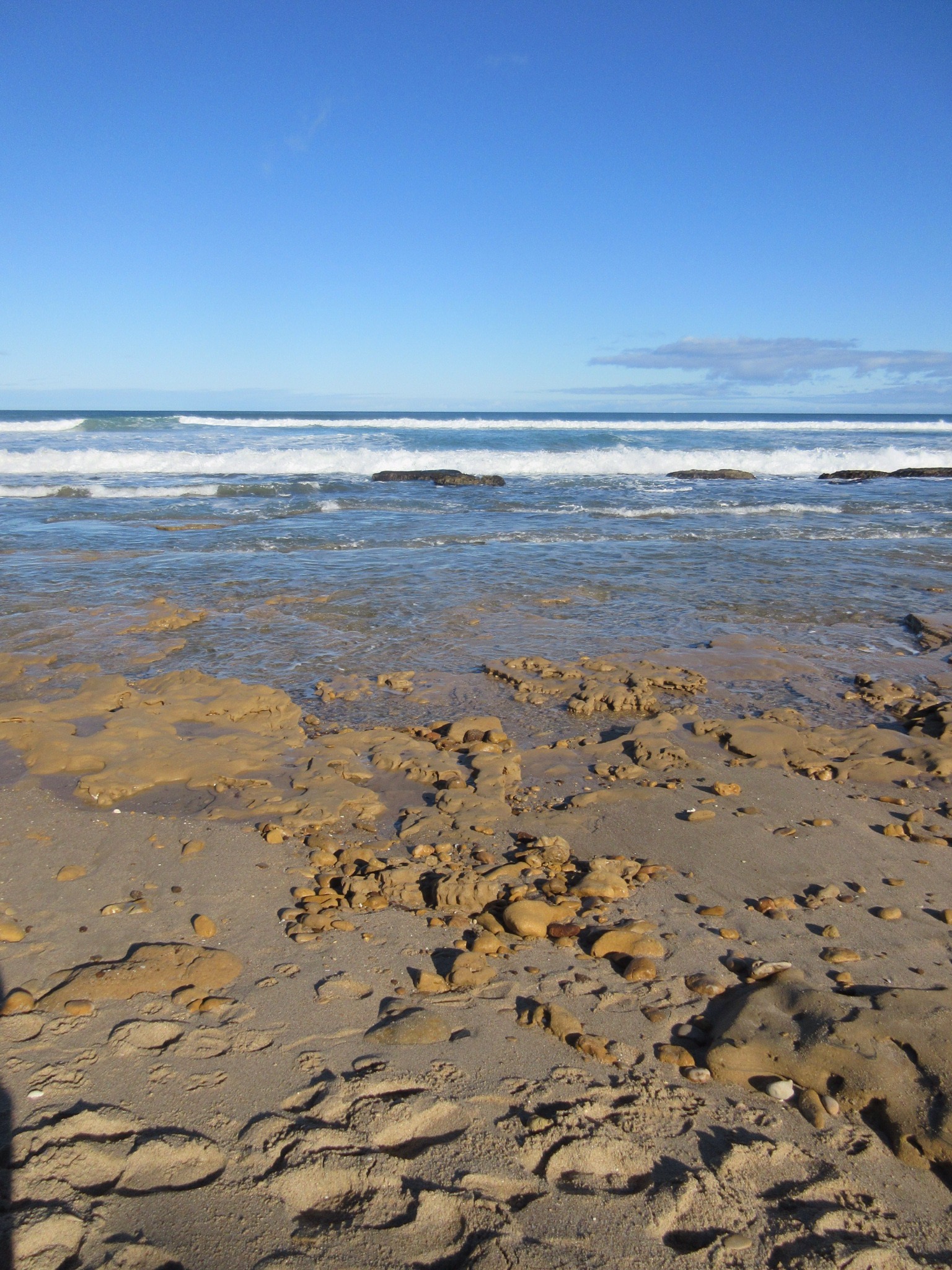
Waves rolling in.
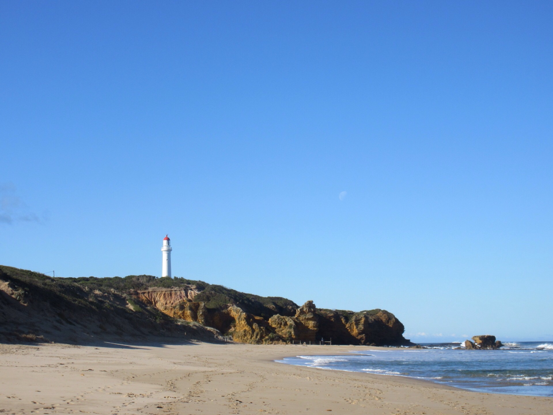
Almost back to the Lighthouse

Crossing over Painkalac creek at the end of the walk
When we went: Friday June 26
How we got there: We drove from Melbourne to Aireys Inlet, it’s about a 90 minute drive. We stopped off on the way for coffee and a biscuit at McGains Nursery.
Activity summary: Just over five hours walking, taking in clifftop tracks, forest and beach walking. We stopped for about 10 minutes for a snack on the trail and about 20 minutes for lunch (at Moggs creek picnic area).
What we did (the details): We arrived at Aireys Inlet just after 9am and set off along the clifftop track in the sunshine. There were quite a few places along the way to stop and look out over the coast at the surrounding cliffs, beaches and reefs.
Once we reached Boundary Road we turned west and trumped along the edge of the road for a while, with the occasional kangaroo bounding off into adjoining properties. We then reached Bambra road and turned north, following a hoof-print-laden track beside the road complete with a semi-continous covering of horse poo. At the turn off to Distillery creek, we crossed Bambra Road and headed west, entering the national park and making our way towards Distillery Creek picnic area.
As soon as we entered the park we were surrounded on a sides by bird life. Teams of new holland honey eaters zoomed around in the understory, crimson rosellas beeping at us from overhead and hordes of small brown jobbies were tzeet tzeet tzeeting at us all around. Everywhere we noticed the ironbarks were in flower and the forest floor around each tree was carpeted with broken yellow flower heads from parrots feeding. We’d been to Distillery creek picnic area before, so we didn’t linger here, but headed straight out onto the track to Moggs creek.
We followed the clear foot track through the forest and then left onto a fire trail heading towards Painkalac dam. The fire trail was just as pleasant walking – the sides were rimmed with moss, sun dews and lichens (and the occasional fungus) the vegetation brought changes with every turn in the road, and the forest was alive with birds.
We reached Painkalac Dam around 11am and decided to keep walking and have a break at Moggs creek. The fire trail winds steadily up hill from the dam to the Gentle Annie track, so we needed a snack partway up. We ate standing on the track, sharing a small bag of scroggin. As usual, once we stopped moving, we could hear birds all around us, and it wasn’t long before we spotted a pair of white eared honey eaters chasing each other around in the nearby undergrowth. They stopped obligingly a couple of times and we managed to get a photo. Then we noticed the eastern spine bill hanging around as well, hopping from branch to branch.
Packing up our snack, we shouldered our packs and started back up the hill, crossed the Gentle Annie track and descended on foot track once more, to Moggs creek picnic area. The picnic area is in a clearing under tall Ironbarks, it makes a beautiful place to stop for lunch. We sat and ate for a bit then wandered around the area, reading the signs and checking out the area. There were green hooded orchid patches just coming into flower, a HUGE mushroom (maybe a Phlebopus marginatus? It was certainly pored, not gilled) and crazy lichens on the tree branches (and the tables!).
Finishing up eating again, we headed once again uphill to the signposted Ocean View walk, where the views are spectacular and well worth the hike. There were some ominous looking clouds moving in from the west, so not wanting to get caught in the train, we started back on our way. At this point our guide book suggested the foot track down to the beach would be rough – but it looked newly surfaced and cleared from the viewing platform all the way down to the Great Ocean Road, so it seems some funds have been recently spent upgrading this part of the track.
Then the beach walk back to the lighthouse. I hate beach walking, but the first two thirds of this walk were on hard flat sand, so it wasn’t too bad. The final third of the walk the tide was getting closer, the beach was sloped and rocky in places, and the wet sand was fairly soft, so I was very glad when we crossed the Painkalac creek and stepped back on sold ground at Aireys Inlet. From there it was a short walk back up the hill through the town streets to the car at around 2:30pm.
Useful information:
Books: We walked the route described in ‘Walk 10 – Moggs Creek’ in the Day Walks of Victoria book by Chapman and Siseman.
Online:
- Official parks page with for the Great Otways National Park: http://parkweb.vic.gov.au/explore/parks/great-otway-national-park (includes change of conditions)


