Photos day 1:
Photos day 2:
When we went: Feb 9 and 10, 2015
How we got there: Vline train from Southern Cross Station to Warrnambool
Activity summary:
- Vline train journey to Warrnambool (three and a half hours each way)
- Lake Pertobe/Foreshore Promenade walk (about 3 hours)
- Bus trip to Koroit followed by rail trail walk back to Warrnambool (5-6 hours, we detoured a bit)
What we did (the details):
Day 1
We caught the 7:20ish train to Warrnambool from Southern Cross Station, arriving around 11:00. We couldn’t check in to our accommodation till 2pm, so we set off up hill and into the town to look around. The Warrnambool township is beautiful, wide streets, lots of trees, anda great mix of old and new architecture.
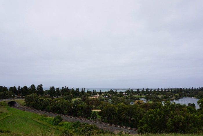
After a look out over the shoreline from the memorial, we started back downhill, across the rail line and into the Lake Pertobe wetlands area. We headed left at the entrance and walked clockwise around the lakes. The area is delightful, very green, and well tended. There’s lots of play equipment including a fun-looking flying fox! There were lots of birds crossing back and forth across the track, mainly swamphens and superb fairy wrens, but we also saw cormorants, ducks and a pelican. I’m really disappointed that I didn’t take any photos in the lake area, as it is really pretty.
Once we had looped back to the starting point near the station, we turned left and headed north west to walk around the northern part of the lakes. This path soon turns and runs almost due south, joining the viaduct road. We had read about a cafe on the headlands looking out over the bay and the breakwater, so we stopped there for lunch: fish and chips (yum!) and an ice cold beer. Mmm.
After the lunch break, we refilled out bottles at the water station outside the cafe. We then walked the track behind the dunes around Lady Bay. Here we spotted quite a few Singing Honeyeaters. This track is very well kept and the while walk was a treat, the view back along the beach when you reach the end of the duneline is spectacular. As we still had time to kill before checking into our accommodation, rather than heading back into town at this point, we kept along the track until it reached the Hopkins River. We then followed the path North till Hickleford Parade and then back into town.
After settling into our overnight digs, a shower and a nap, we wandered back into town for dinner. We’d read about a place called the Pickled Pig which was supposed to be excellent, but discovered that contrary to their door sign, the were closed on Mondays. Sadness ensued. I cast my mind back to the guide book in our room which had helpfully suggested some good places to eat, including a pizza place called Bojangles. Pizza and beer seemed like a fitting end to the day, and fine pizza it was indeed. We then rolled back to our room and sleep.
Day 2
After a yummy breakfast (and excellent coffee) at Brightbird Espresso, we hopped on the 8:30 port fairy bus, disembarking at Koroit. We were in high hopes as the day started of bright and sunny, but unfortunately it clouded over for almost all of our actual rail trail walk. Anyway, from the bus stop in Koroit, we headed North in North street (yes, really) until it reached the rail trail.
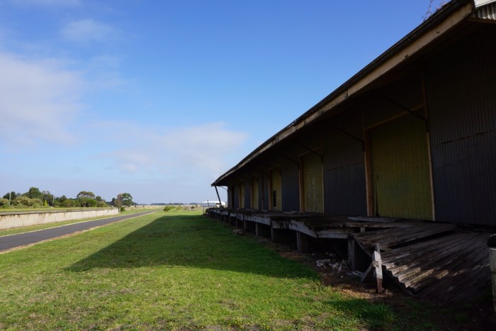
This is just part of the Port Fairy to Warrnambool rail trail, that follows (mostly) the path of the original rail line. The old Koroit station is close the the post we began, in fact there were a troop of volunteers at work planting new trees, and mowing around the station. There was a lot of newish planting all along the trail.
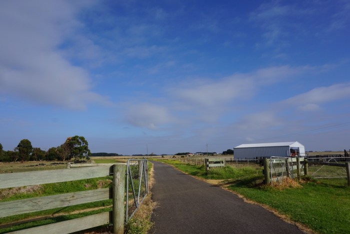
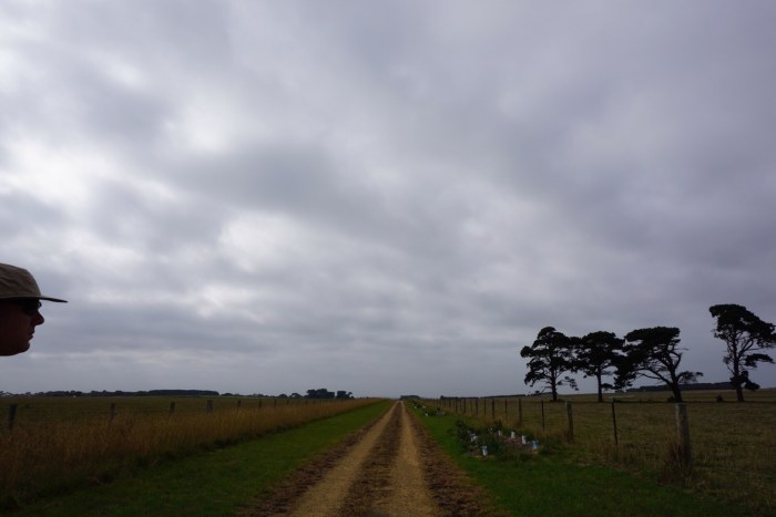
The next hour or so of walking was along the gravel trail, between farms, sometimes in culverts and sometimes at the same level as the fields. Most of this section is cattle farms, which means flies. Lots and lots of flies. Hundreds of them hitched along on our backs as we walked, which made eating impossible and drinking nearly so. It was a warm, overcast morning with only the lighted of breeze, so perhaps the conditions were at their worst for collecting them. Once we left the rail one by walking under the highway at Illowa, the flies lessened.
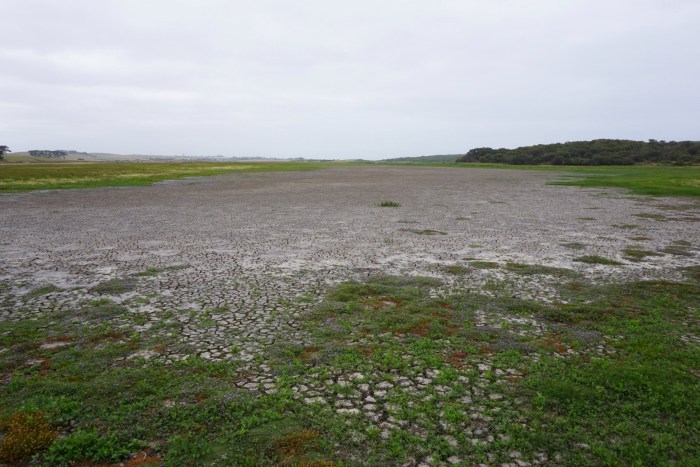
The section of the trail after Illowa follows roads, as the highway has taken over the old rail line path. The first road section is alongside Illowa road, and has been sectioned off from the road by stout fencing. The trail then crosses over and down Millers Lane, to the end through a farm fence and down into the lowlands behind the dunes. Over a the river bed (dry when we walked) via a wide footbridge on onto a trail along the very back of the dunes. There was a her of black cows with calves being moved into a riverside field as we came past. One hundred mournful faces watching as we passed by with just an electric line between us… Was unnerving. 🙂
This next part was interesting, the dusty track was often right up against headhigh grasses. Lots of marsupial tracks in the sand, but the only animal we saw was a snake coiled up in the grassy verge. We moved quickly on. No birds to be seen, nor heard.
We were starting to feel tired of the dune track and began looking for the turn of to Levy’s point car park which we knew gave access to the beach… When we started to smell the odd smell. There was clearly a factory ahead on the back of the dunes, and I recalled reading some odd, guarded comments about the smell in a blog post that didn’t reveal its purpose. So I, of course, was staring avidly into the yard as we passed, wondering if I could see any clues. (Warning: this part may be disturbing, skip to the next paragraph if you like.) Nothing really prepared me for the truck sized pile of gore in the yard: bones, blood, carcasses heaped twice the height of the man standing next to it. He stared at me as I walked by staring at him. It was surreal. But now you know. Don’t look in the gates if you are remotely squeamish.
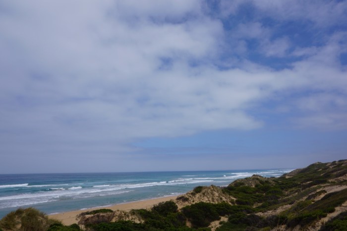
So after walking by the meat rendering plant, we turned off to the right and over the dunes down to the beach.
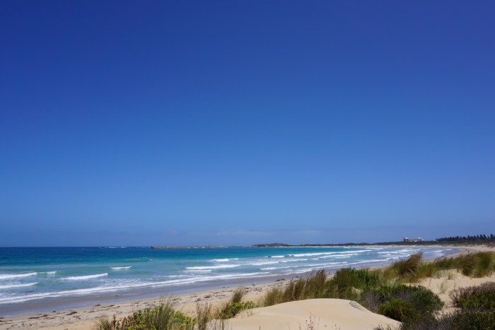
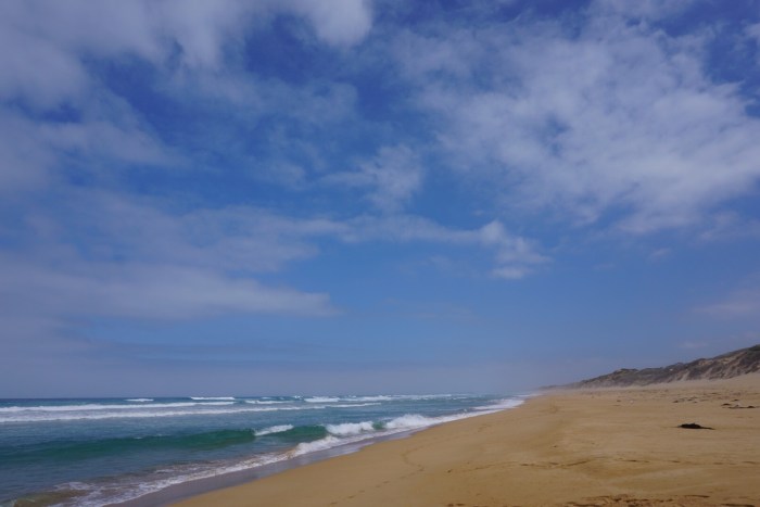
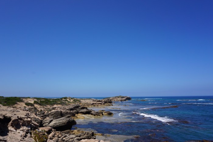
The sun had started to break through by this point, so we spent the next hour or so walking along the beach in the sun. It’s a beautiful beach, but it was a slog. The sand is soft and deep, we walked along the waterline where it was firmer, but of course that meant the occasional wading. The rockhopping was actually the toughest bit, mainly because the volcanic rocks were rough and sharp, like diamond rasps, so we were worried about making missteps. The rocky points were beautiful though, so many tide pools teeming with life.
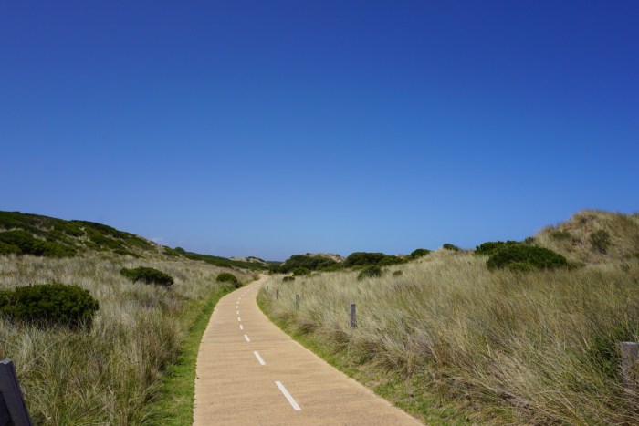
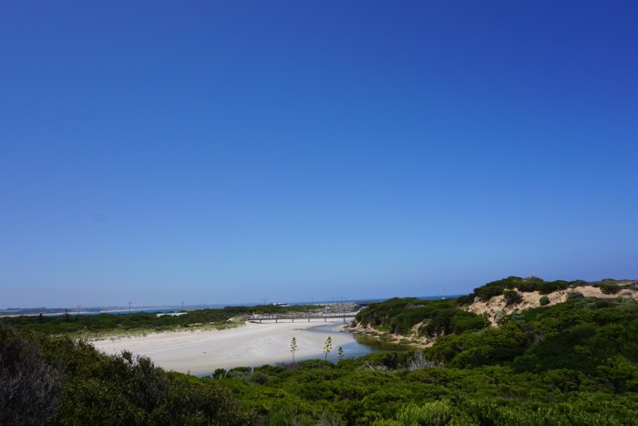
We crossed back to the tops of the dunes behind the golf course somewhere (sorry it was unsigned so I’m not sure where exactly) and then we were back on Thunder Point Trail so the walking became easy again, with clear paths and boardwalks back to the mouth of the Merri River. From there we walked along to the breakwater and a cold drink at the cafe looking out over the sparkling water of the bay.
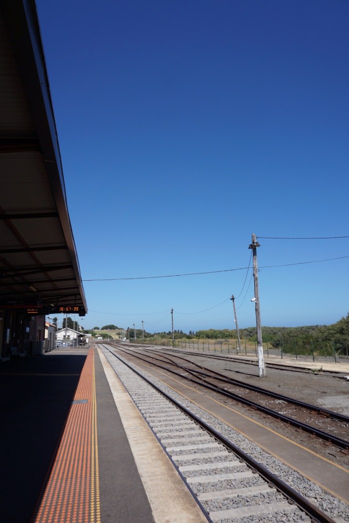
We ended the afternoon with a slow wander along the beach and back to the station to catch the train home.


