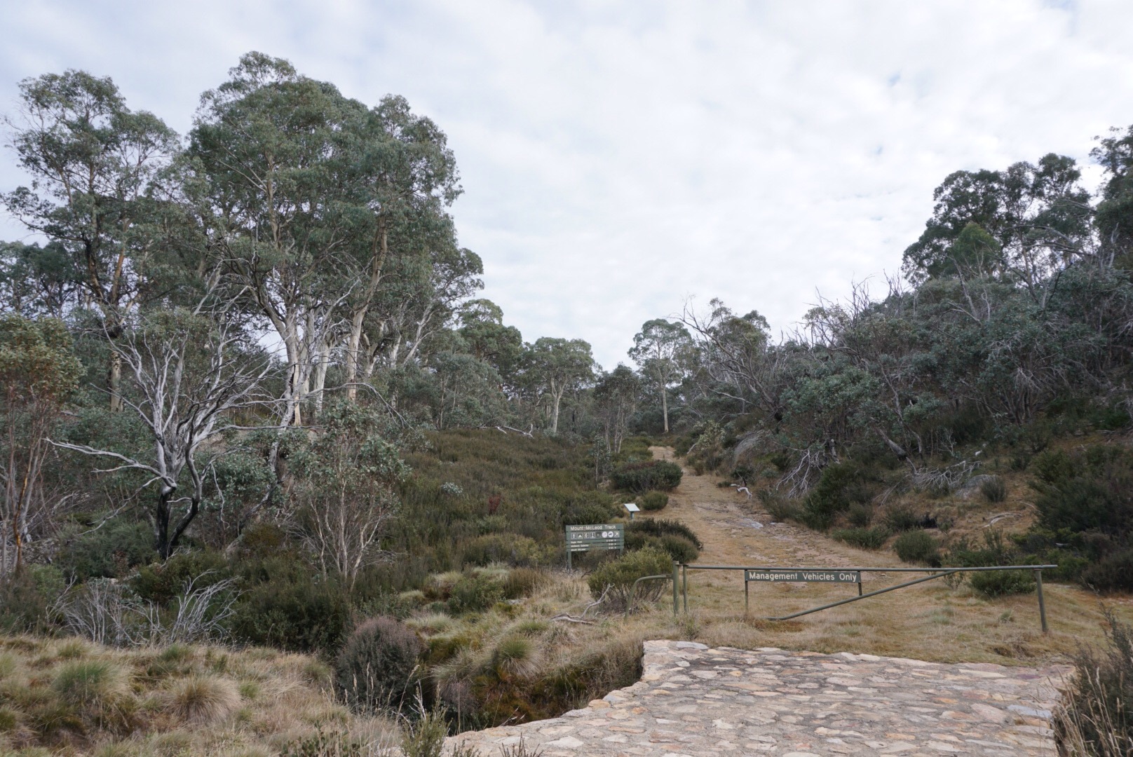
Start of the walk
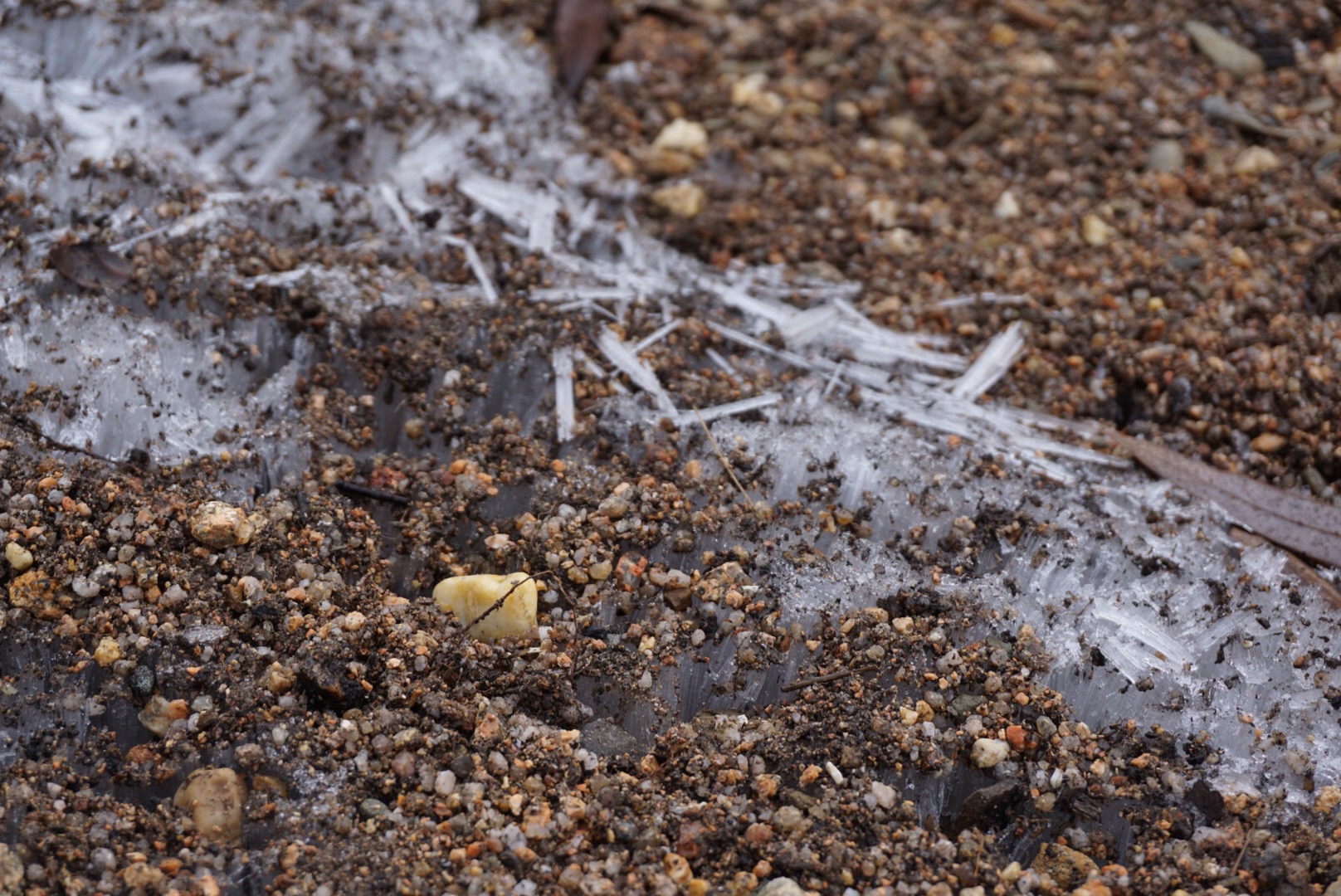
Ice crystals under the gravel
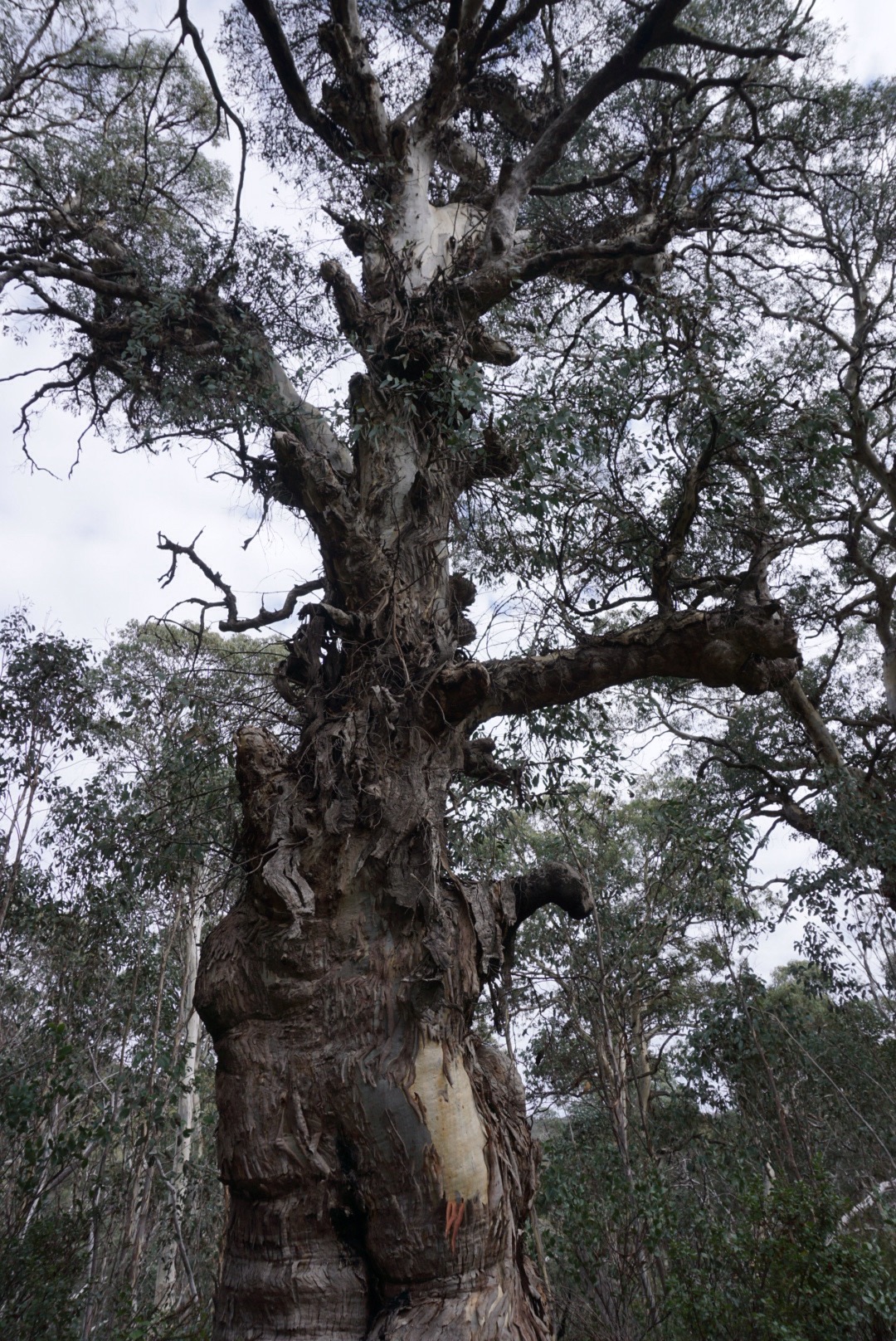
Gnarly eucalypt

Pink bells
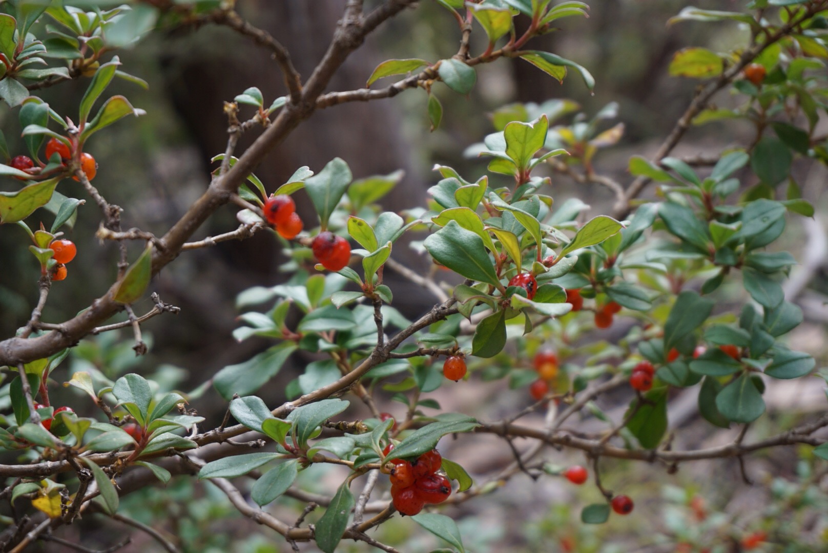
Rough coprosma in fruit

Breaking for a snack
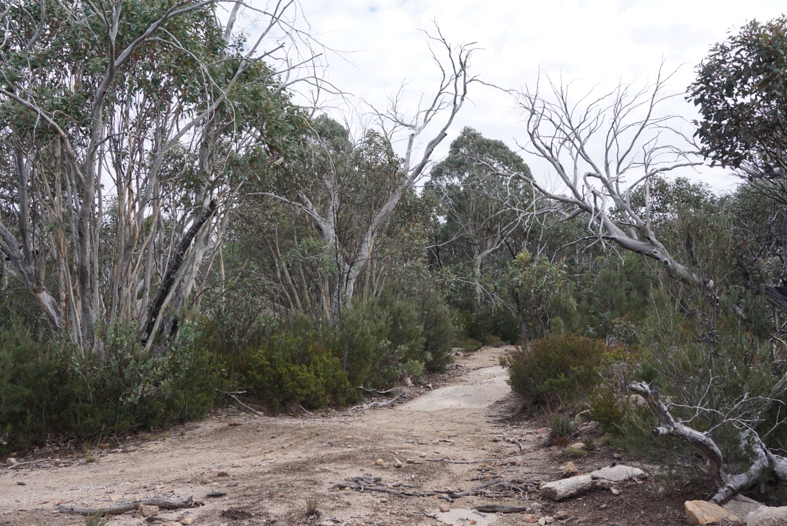
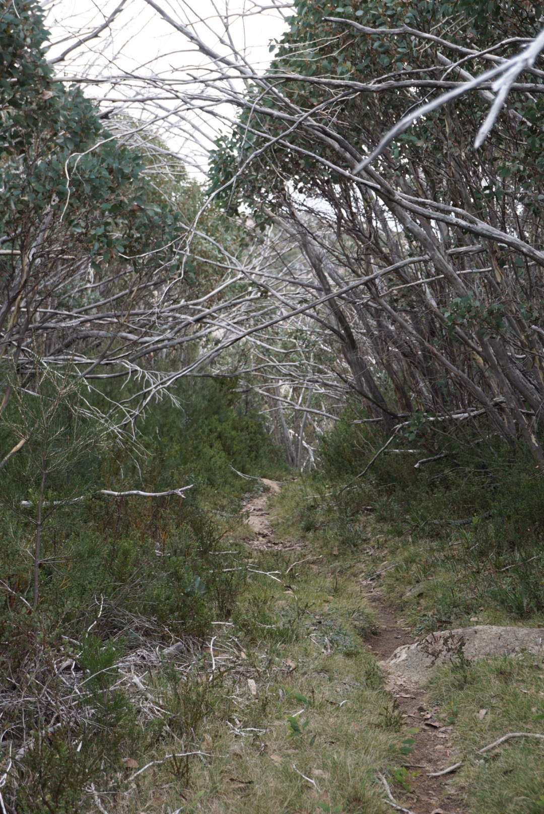
The track through the regenerating forest

First field at the base of the mountain. The camping area was off to the right.

The view up to the peak, from Second Field

The tiered structure of the ice under the track
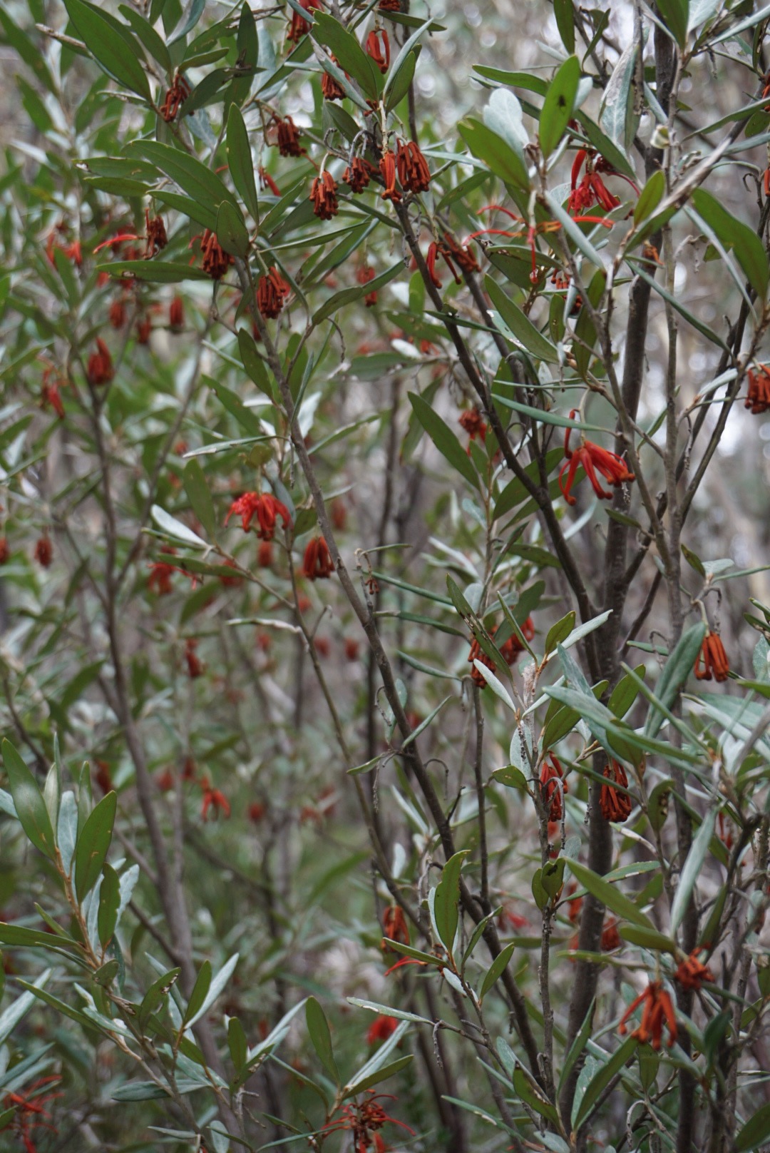
Grevilea victoriae?

The track from Second field up to MT Mcleod was beautiful

Tiny bracket fungi were out everywhere
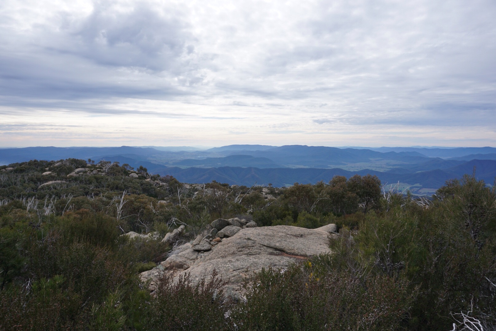
The view down to Pokrepunkah, as we headed up to the peak.
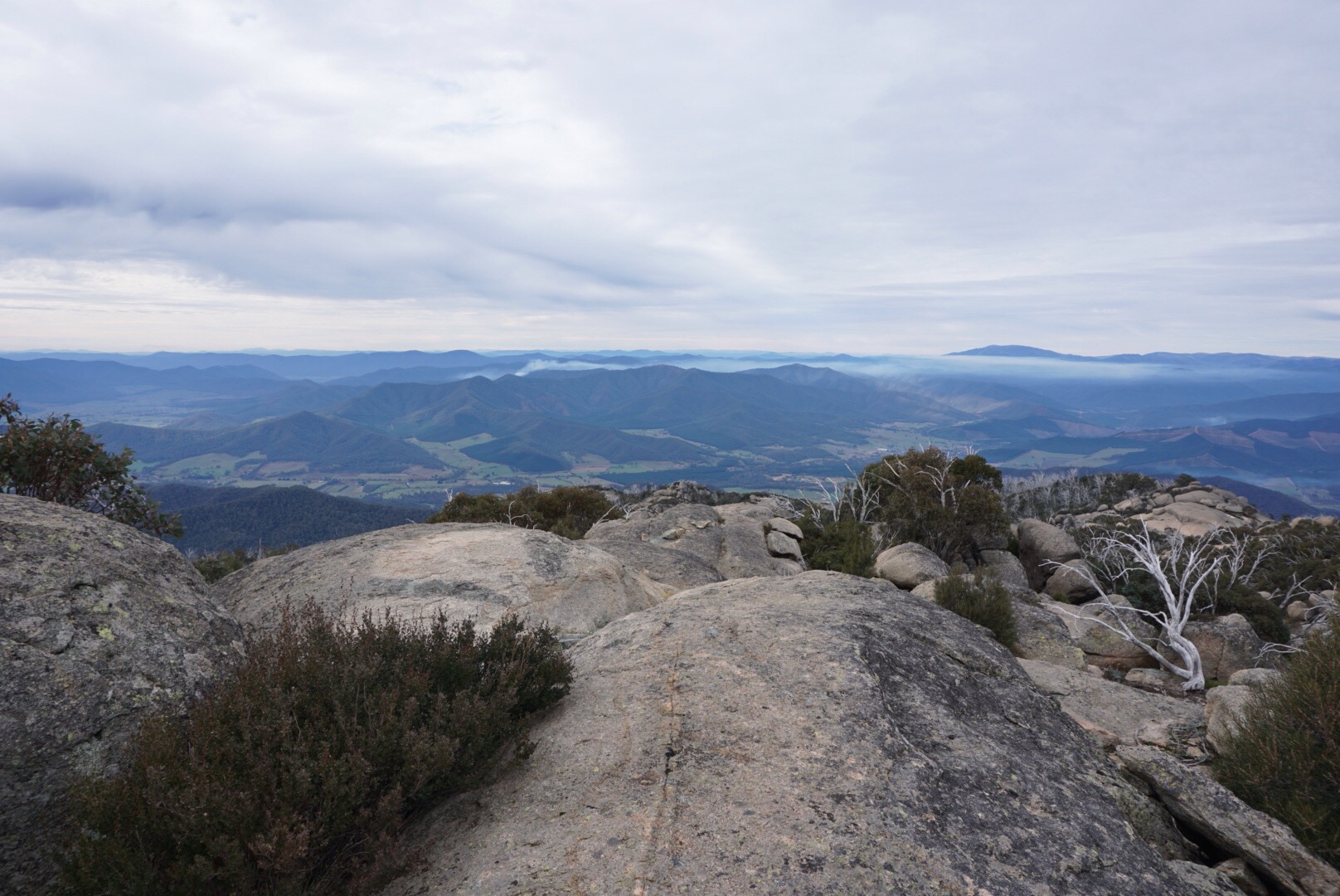
The view from the summit. A nice (but cold and windy) lunch spot.

Heading back down from the mountain. The cairns were great.
Back through the forest.
This reminded me of the nothofagus from home, not sure what it is though.

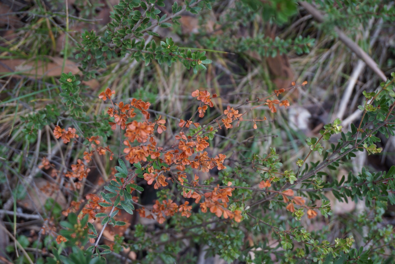
I think this might be bossiaea foliosa or…?

The “short cut” track back to the car.

Annnd the car visible in the distance. Ice still over the trail.
How we got there: Mt McLeod is in the north of Mount Buffalo National Park. We stayed overnight in Bright and drove up to the park after brekkie. Bright is about three and a half hours north of Melbourne by car.
Activity summary: Return walk along 4wd track through sub-alpine forest, short climb to mountain peak (mostly on trail, a little rock scrambling at the end).
What we did (the details):
We left bright around 8:30 and arrived in Mount Buffalo national park around 9:15. Once in the park, we drove along Reservoir road, a short section of unsealed road (but well maintained, and easily 2wd drivable). It was cold and overcast, but forecast to be a dry day. Nonetheless our packs bulged with extra weather protection, and I bulged with beanie, gloves and scarf. The extra layers didn’t last long once we got walking… The pack then bulged even more 🙂
The track is mostly along a four wheel drive maintenance road, very clearly marked the whole way. It was gravelled in places, and where water had run under the gravel and then frozen, it pushed the surface upwards. So walking was crunchy but very stable on the icy surfaces. I couldn’t help but stop and take photos of the crystallisation structures along the way…
We didn’t see many birds on the walk, the forest was mostly quiet, and apart from a few treefalls, the trail was mostly straight forward and clear. The forest was pretty, and I saw some plants I’d not seen before, but there weren’t many changes in the scenery until we reached Dels Plain and the camp site where the mountain forest opens out to grasslands.
After the toilets at Dels Plain, the track narrows to a walking track and enters forest once more, and then through Second Plain, and forest once again before opening out to the rocky mountain peak area. There was a little confusion here as the track markers split, with cairns to the right, and pink ribbon markers to the left. It turns out that either way was fine, but we stuck with the cairns for our ascent.
The final climb was pretty short, and there were only a couple of scrambly bits to reach the very top, the trig market pround on the rocks. My partner whipped out our little hiking fuel stove and we ate lunch followed by hot soup as we looked out over the view.
After half an hour break, at around 1pm we headed back down the mountainside and back onto the trail. Heading back was a much quicker walk, as it’s more downhill and less uphill sections.
Towards the end, we decided to take the marked “short cut” track. We’ve had bad experiences with shortcuts of late, so we were a little skeptical, but forged on regardless. And yes, although the shortcut was shorter by distance, it would probably have been quicker to have kept to the fire trail. The shortcut track was narrow and quite rocky, with a few trees over, and a couple of very large wombat diggings obscuring the path.
We got back to the car around 3:15, rounding out six hours of walking.
Birds we saw: grey shrike thrush, crimson rosellas.
Useful information:
Printed maps:
We used the Mount Buffalo Outdoor recreation guide map.
Online:
- Official Parks information: http://www.parkweb.vic.gov.au/explore/parks/mount-buffalo-national-park
- the Grimwade collection: http://www.botany.unimelb.edu.au/buffalo/about.htm amazing historical record of vegetation in the park.


